Imagine that all the GIS tools, imagery, basemaps, and databases you need to do your work are organized for you somewhere out there on the web. You can access those resources at any time, from your desk at work, from home, while you’re traveling; your data storage capacity increases automatically as you need it; and you can share your work instantly with colleagues or customers across the globe.
This is idea behind Cloud GIS – seamless access to GIS capabilities from anywhere.
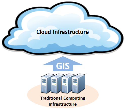
Cloud GIS is the combination of running GIS software and services on cloud infrastructure and accessing GIS capabilities using the web.
Cloud computing offers an alternative to traditional methods of delivering and consuming GIS software and services to your customers.
This is idea behind Cloud GIS – seamless access to GIS capabilities from anywhere.
What Is Cloud GIS?
Cloud computing offers an alternative to traditional methods of delivering and consuming GIS software and services to your customers.
Instead of running GIS on your own compute systems and operations, with Cloud GIS, your software and services reside on infrastructure – commonly (but not always) maintained off premises by a third party vendor – and made available through web technologies.
For a more detailed definition of cloud computing, see The National Institute of Standards and Technology (NIST).
For a more detailed definition of cloud computing, see The National Institute of Standards and Technology (NIST).
No comments:
Post a Comment